***************************************************************************************************
Transportation Service to Dryden Rd.
*************************************************************************************************** |
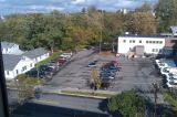
A building facing Fairview Sq. (The Heights) across Maple Ave., Transportation Services, 116 Maple Ave. in Oct. 2011 The premises left of the building is a short-cut
to the Cornell South Campus. |
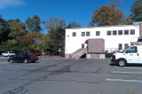
Same as Left in Oct. 2011 |
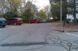
Same as Left (premises left of the Transp. Serv. Bldg.) on Oct. 29 2011 |
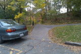
Same as Left |
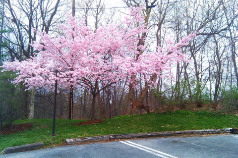
Mar. 24, 2012 |
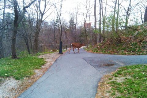
Mar. 24, 2012 |
Mar. 24, 2012 |
 |
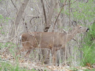 |
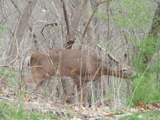
Mar. 24, 2012 |
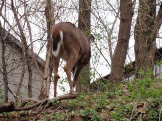
Mar. 24, 2012 |
A short-cut from Fairview Sq. to Cornell South Campus walking through the
premises left of Transportation Services on Oct. 22, 2011 |
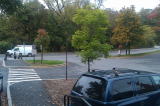
Same as Right on Oct 13, 2011 |
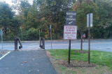
Same as Right Above on Oct. 13, 2011; a road ahead is Dryden Rd./Rte 366 |
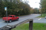
Same as Left (toward a crossing between
Dryden Rd./Rte.366 and Hoy Rd.)
on Oct. 13, 2011 |
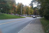
Looking back at the short-cut from Dryden Rd./Rte. 336 on Oct. 13, 2011 |
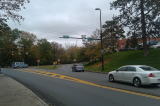
Along Dryden Rd./Rte 366 toward
Dwyer Dam Bridge (Left)
on Oct. 13, 2011 |
***************************************************************************************************
Dryden Rd. to Dwyer Bridge to Campus
*************************************************************************************************** |

Above a crossing between Dryden Rd. and Hoy Rd.
near Dwyer Bridge on Dec. 19, 2011 |
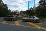
A crossing between Dryden Rd (Right) and
Hoy Rd (Left) near Dwyer Dam Bridge (Far Right)
on Oct 3, 2011 |
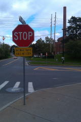
Same asAbove |
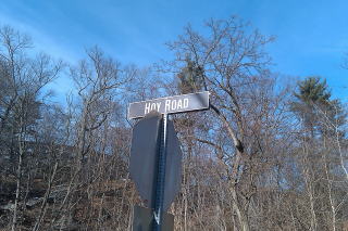
Hoy Rd. on Jan. 9, 2012 |
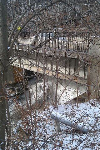
Under Dwyer Dam Bridge
on Jan. 20, 2012 |
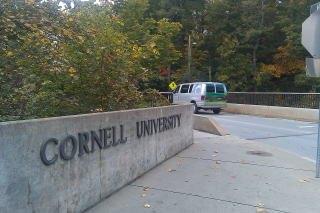
At the edge of Dwyer Dam Bridge;
a road above right is Hoy Rd. on Oct. 13, 2011;
Cornell South Campus is in the left.
I. e., this Dwyer Dam Bridge on Hoy Rd. is
the entrance to Cornell South Campus. |
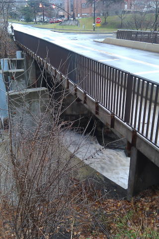
Dwyer Dam Bridge on Dec. 23, 2011
|
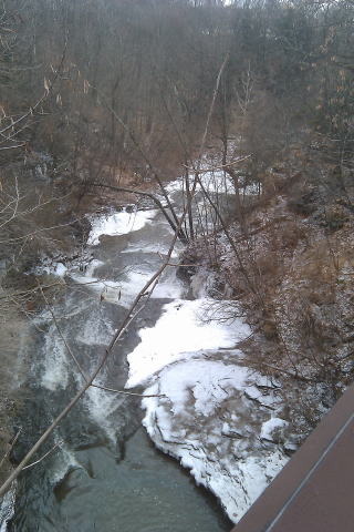
Viewing creek from Dwyer Bridge
on Jan. 18, 2012 |
|
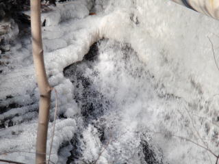
Close up picture of Left |
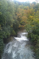
From Dwyer Dam Bridge, looking down at Cascadilla Creek on a day immediately after the day of flood in Sept. 2011
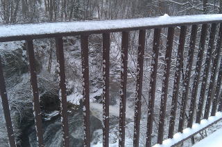
Dwyer Bridge on Jan. 13, 2012
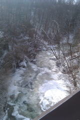
Jan. 20, 2012 viewing from Dwyer Bridge |
Same as Left on Dec. 19, 2011
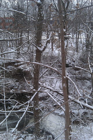
Viewing from Hoy Rd. to Dryden Rd.
on Jan. 13, 2012 |
| |
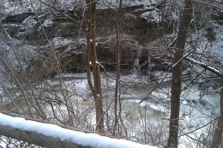
Jan. 20, 2012 veiwing from Hoy Rd. |
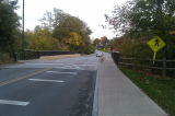
Looking back at Dwyer Dam Bridge on Oct. 13, 2011 |
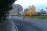
Along Hoy Rd. toward Cornell South Campus;
a building ahead is Frank H.T. Rhodes Hall (Engineering)
on Oct. 13, 2011.
See Frank H.T. Rhodes Hall.
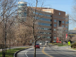
Frank H.T. Rhodes Hall on Dec. 19, 2011 |
Along Hoy Rd., looking back at the road toward Dwyer Dam Bridge on Oct. 13, 2011 |
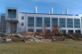
Duffield Hall (research and teaching facility for nano-science, etc.) on Jan. 9, 2012 |
Still along Hoy Rd. toward South Campus,
passing Rhodes Hall; a building ahead right is
Barton Hall (Department of Millitary Science)
on Oct. 13, 2011.
See Barton Hall. |
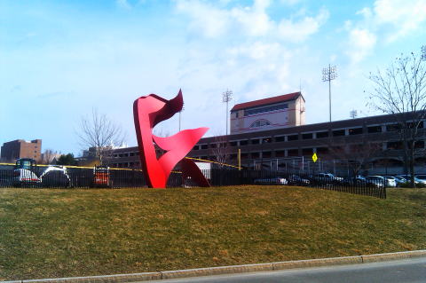
Mar. 15, 2012 |
|
|